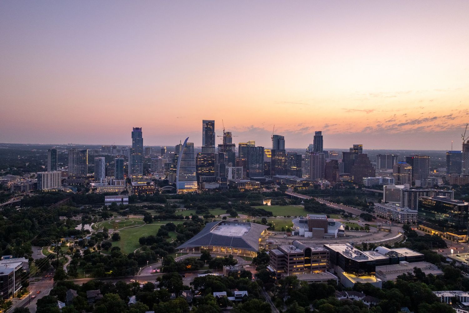
Aerial Imagery

Some properties demand a higher perspective. Our FAA Part 107 Certified drone services capture sweeping aerial views that help to reveal your property's complete story, from architectural details to surrounding amenities and neighborhood context.

Panoramic aerial view of downtown Atlanta's skyline with skyscrapers silhouetted against a colorful sunset sky.
Aerial view of highway interchange construction with curved roads and green fields under blue skies with white clouds.
Aerial photo shows gray-roofed houses in a suburban neighborhood with green lawns and paved driveways.
A suburban housing development at sunset with curved streets and residential homes viewed from an aerial perspective.
Aerial view of a bright turquoise lagoon surrounded by residential homes and green spaces in a suburban development.
Aerial view showing multiple rectangular swimming pools surrounded by stone patios and landscaped yards in a residential area.
Panoramic aerial view of a golf course with multiple lakes, greens, and surrounding residential development on a sunny day.
Aerial view of a suburban housing development next to green park space and rolling farmland under blue skies.
Aerial view of residential neighborhood with curved street, green trees, and suburban houses with neat lawns.
Aerial view of residential houses with green lawns and trees in a suburban neighborhood on a sunny day.